
Mining Starts With OCRIS
The Geological Data Operating System for Modern Mining
Capture. Validate. Govern. Scale.
OCRIS transforms geological data capture from fragmented field workflows into a structured, validated, enterprise-ready data foundation — built for exploration, resource development, and AI-ready mining operations.
Deploy in weeks, not months. Support operations from 1 rig to 20+ rigs and beyond.

Built For Real Mining Environments
- Hybrid offline + cloud synchronisation
- Field-first capture with enterprise database integrity
- Open SQL architecture with API and BI tool access
- Per-project commercial licensing aligned to exploration cycles
Enterprise Geological Data Capability — Without Enterprise Deployment Pain
What is OCRIS?
Geological Data Operating System
— Delivered Through Field Capture + Validation
OCRIS starts where geological risk begins — in the field — then expands into a full enterprise data platform
as programs scale.
| Layer | Role |
|---|---|
| Field Capture | Structured mobile logging and validation |
| Data Integrity | Database-first architecture and schema enforcement |
| Data Governance | Auditability, version control, validation workflows |
| Integration | Open SQL + API + BI ecosystem access |
| AI Readiness | Clean structured data ready for AI and automation |
Why Mining Companies Choose Ocris
Core Capability Pillars
(SEO + Ai Authority Structured)
Digital Core Logging Platform — Schema-driven logging with enforced validation, standardisation, and
auditability.
Geological Data Integrity Engine — Database-first design ensures consistency across teams, rigs, and
programs.
Offline Field Data Capture for Mining — Operate fully offline with automated synchronisation when
connectivity exists.
Drillhole Data Validation — Validation rules applied during capture — not just post-import QA.
Exploration Data Governance — Complete auditability across geological workflows, datasets, and
program history.
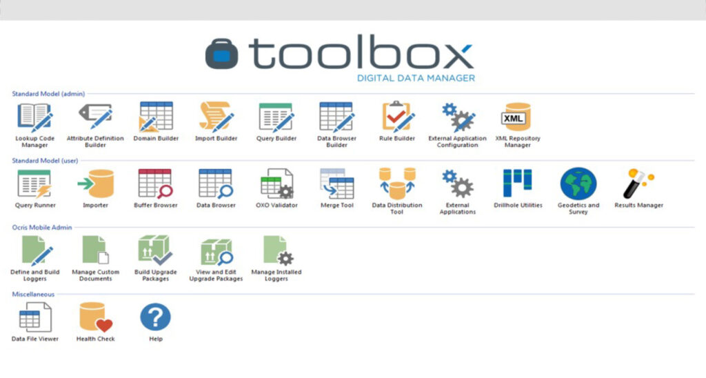
OCRIS Toolbox
OCRIS Toolbox is the central database and data management layer powering the OCRIS ecosystem.
Built around an integrated relational database architecture, Toolbox manages:
- Drillhole data and intercept calculation
- Downhole geophysics data (LAS workflows)
- Coordinate systems and geodetic metadata
- Laboratory assay results and QA workflows
- GIS collections and spatial relationships
- Data export and integration pipelines
The Toolbox suite operates as a unified system sharing licensing, database architecture, and data models
across modules.
Built for Scale
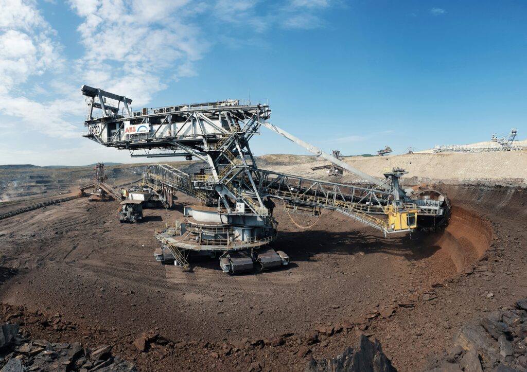
Supports: single exploration rigs, multi-rig drilling campaigns, and multi-country mining operations.
- Database size: 1 GB → 100+ GB
- Typical deployment: ~2 weeks
- Fastest deployment: 5 days from scratch
Architected for Ai — Without Lock-in
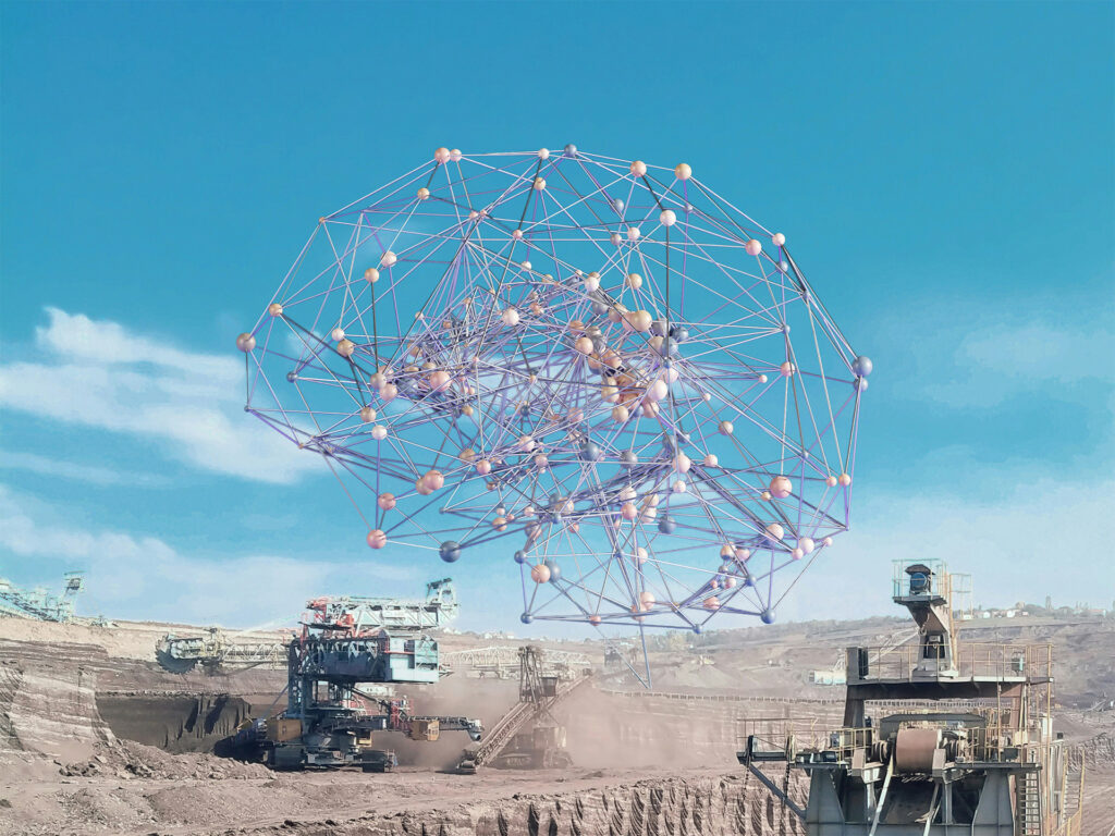
OCRIS produces clean, structured geological data ready for AI workflows and automation — without forcing customers into proprietary AI ecosystems. OCRIS remains data-first, open integration, and AI partner compatible.
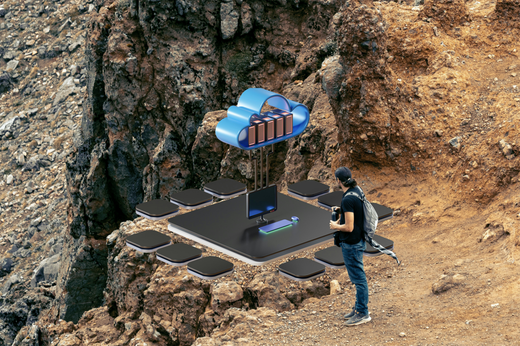
Open Data Architecture
- Open SQL database access
- Direct BI tool integration
- API integration support
- Customer data ownership (on-prem or customer cloud)
- Full export capability
Typical Adoption Path
Trusted by Industry
Used by teams and operations associated with:


Commercial Model
Per-Project Licensing — aligned to exploration budgets and program lifecycle.
Mining Starts With OCRIS
If your drilling program depends on geological accuracy, start with structured capture.
Questions? Call +27 60 949 3084, or Whatsapp us +27 60 949 3084
Request a Technical Walkthrough, Request a Deployment Planning Session, or, Contact Us for More Information.