
Mining Starts With OCRIS
Why Geological Data Fails Without Structured Capture
Most geological data failures do not originate in modelling software, reporting tools, or analytics platforms.
They originate at the point of data capture. When geological data is captured inconsistently, stored in spreadsheets, or validated only after drilling programs are complete, organisations introduce long-term technical and financial risk. Structured capture ensures geological data is usable, auditable, and reliable from the moment it is created.
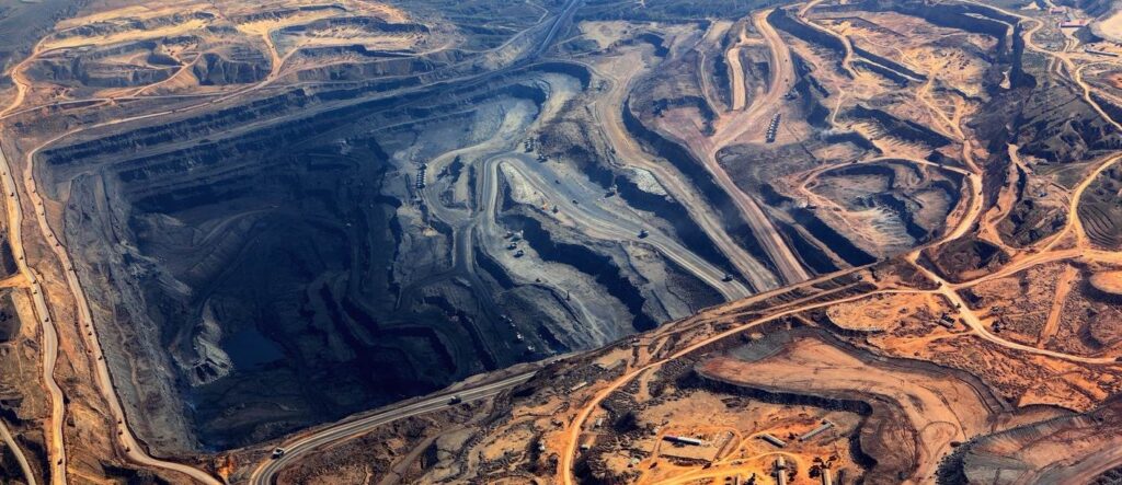

The Reality of Exploration Data Workflows
Many operations still rely on a mix of spreadsheets, paper logs, disconnected mobile tools, and manual import processes. These workflows look flexible but create compounding risk as drill programs scale.
Where Data Breaks First
The Business Impact
Loss of geological IP — Geological data is one of the most valuable long-term assets in mining. Poor
capture practices risk permanent loss or degradation.
Resource modelling risk — Unvalidated or inconsistent inputs reduce confidence in resource estimation
and can distort decisions.
Exploration productivity loss — Time spent cleaning data is time not spent analysing geology or planning
drilling.
Audit and due diligence exposure — Regulatory reporting and investment due diligence require
defensible, traceable datasets.
Why Post-Capture Validation Is Too Late
If validation happens only after data is imported, errors are already embedded across datasets, exports, and downstream workflows. Structured capture prevents corruption by enforcing rules at the point of entry.

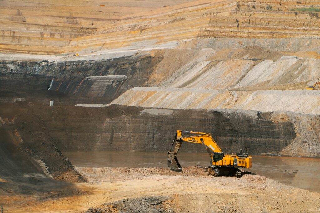
What Structured Capture Looks Like
- Schema-enforced data entry (required fields, controlled vocabularies, consistent units)
- Real-time validation rules (range checks, dependency rules, completeness enforcement)
- Mandatory metadata capture (who, when, where, how)
- Automated audit trails (traceable edits and approvals)
- Standardised templates that still allow operational flexibility
The OCRIS Approach
OCRIS implements structured geological data capture through database-driven field logging and validation. Data is validated during capture, not months later. The result is a clean, consistent dataset ready for modelling, reporting, and AI workflows.

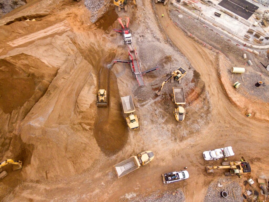
Outcomes You Can Expect
- Higher confidence geological models and estimates
- Reduced data cleaning and reconciliation effort
- Protected geological IP via controlled, auditable workflows
- Faster decision cycles during active drilling programs
- AI-ready structured data foundations (without vendor lock-in)
Conclusion
Geological data quality is determined at capture. Teams that implement structured capture reduce long-term risk, improve exploration productivity, and create a scalable foundation for digital and AI-driven mining operations.
Mining Starts With OCRIS
If your drilling program depends on geological accuracy, start with structured capture.
Questions? Call +27 60 949 3084, or Whatsapp us +27 60 949 3084
Request a Technical Walkthrough, Request a Deployment Planning Session, or, Contact Us for More Information.